|
search place name
|
||
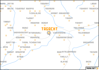
Tagacht (Marrakech, Morocco)Tagacht is a town in the Marrakech region of Morocco. An overview map of the region around Tagacht is displayed below.
regional and 3d topo map of Tagacht, Morocco ::
Tagacht airports ::
The nearest airport is AGA - Agadir Inezgane, located 84.6 km south west of Tagacht.
Other airports nearby include RAK - Marrakech Menara (125.0 km north east), Nearby towns ::
Aït Addi (1.9km north) //
Ichemrarene (3.2km east) //
Agadir (4.0km north west) //
Aït Saïd Ou Ali (4.8km west) //
Tiourar nʼ Aït Aissi (5.1km east) //
Igrane (5.1km west) //
Inemirene (5.1km west) //
Tichouktine (6.0km south west) //
Imouensa (6.0km north west) //
Er Rbat (7.6km north) //
Adar (8.1km south east) //
Agadir nʼAït Ali (8.1km south west) //
Imakherirn (8.8km north east) //
Tiskert (8.4km north east) //
Tizemlaline (8.8km north west) //
Tijgout (8.4km north west) //
Tahahout (8.4km north west) //
Aït Al Qarmoudi (9.8km south east) //
Bou Amsa (9.8km north east) //
[all distances 'as the bird flies' and approximate] 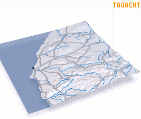 Places with similar names to Tagacht, Morocco ::
// Tagashet (RU)
// Tokuchet (RU)
// Takoucht (MA)
// Takoucht (MA)
// Taukkashat (MM)
// Taukkashat (MM)
// Ducks Head (US)
// Tecusiate (GT)
// Tucuchito (VE)
// Dakachita (NG)
Disclaimer :: Information on this page comes without warranty of any kind |
||
|
Where is Tagacht? Elevation and coordinates ::
Latitude (lat): 31°5'0"N Longitude (lon): 9°12'0"W
Elevation (approx.): 1223m (map arrows pan, magnifying glasses zoom) |
||
|
Visiting Tagacht? Hotel/Accommodation ::
Book a hotel in Tagacht Travel Guide ::
Buy a travel guide for Morocco rental cars ::
car rental offers GPS waypoint ::
download a GPX waypoint (PoI) of Tagacht for your GPS receiver
|
||