|
search place name
|
||
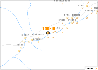
Taghia (Ouarzazate, Morocco)Taghia is a town in the Ouarzazate region of Morocco. An overview map of the region around Taghia is displayed below.
regional and 3d topo map of Taghia, Morocco ::
Taghia airports ::
The nearest airport is OZZ - Ouarzazate, located 65.7 km west of Taghia.
Other airports nearby include RAK - Marrakech Menara (176.4 km west), ERH - Er-rachidia Moulay Ali Cherif (198.3 km north east), Nearby towns ::
Taghzout (1.0km south) //
Agoudim (1.0km south) //
Imchad nʼAït Saïd (1.5km north east) //
Aït Ikko (1.5km north east) //
Aït Tlaglou (1.6km south east) //
Taria nʼIrhihane (1.6km south east) //
Aït Lahlou (2.5km north east) //
Aït Ou Ben Ali (3.0km east) //
Sidi el Rhazi (3.6km west) //
Ba Daoud (3.6km west) //
Aït Gandou (4.5km south west) //
Aghigha (4.5km east) //
Zaouia Asfalene (5.2km north east) //
Bou Ikba (5.9km west) //
Aït Igad (6.4km north east) //
Timichcha (6.4km north east) //
Arirha (6.6km north east) //
Tiriguiout (6.6km north east) //
Aït Aïssi (6.6km north east) //
Timiright (7.2km south west) //
Aït Ridi (8.8km north east) //
Ahel Kourt (8.9km north east) //
Aït Ouahi (8.9km north east) //
Aït Waddar (8.9km north east) //
Tagounit (10.0km north east) //
Ibrahene (10.0km north east) //
[all distances 'as the bird flies' and approximate] 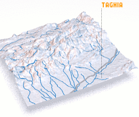 Places with similar names to Taghia, Morocco ::
Disclaimer :: Information on this page comes without warranty of any kind |
||
|
Where is Taghia? Elevation and coordinates ::
Latitude (lat): 31°8'30"N Longitude (lon): 6°15'47"W
Elevation (approx.): 1335m (map arrows pan, magnifying glasses zoom) |
||
|
Visiting Taghia? Hotel/Accommodation ::
Book a hotel in Taghia Travel Guide ::
Buy a travel guide for Morocco rental cars ::
car rental offers GPS waypoint ::
download a GPX waypoint (PoI) of Taghia for your GPS receiver
|
||