|
search place name
|
||
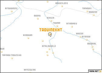
Taouinekht (Ouarzazate, Morocco)Taouinekht is a town in the Ouarzazate region of Morocco. An overview map of the region around Taouinekht is displayed below.
regional and 3d topo map of Taouinekht, Morocco ::
Taouinekht airports ::
The nearest airport is OZZ - Ouarzazate, located 55.9 km north of Taouinekht.
Other airports nearby include RAK - Marrakech Menara (158.9 km north west), Nearby towns ::
Ouaouguinekht (3.0km south west) //
Tourar (4.3km north east) //
Aït Ali Ou Salm (4.6km south) //
Ouinijgat (5.7km south) //
Azegza (5.8km north) //
Asserd nʼAït Boulou (6.0km south) //
Ouintijgal (7.0km south) //
Ougrid (7.8km north west) //
Ihmoudan (7.2km west) //
Aït Hammou (7.7km north east) //
[all distances 'as the bird flies' and approximate] 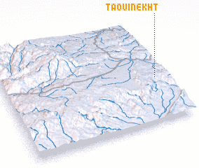 Places with similar names to Taouinekht, Morocco ::
Disclaimer :: Information on this page comes without warranty of any kind |
||
|
Where is Taouinekht? Elevation and coordinates ::
Latitude (lat): 30°27'1"N Longitude (lon): 7°3'13"W
Elevation (approx.): 1138m (map arrows pan, magnifying glasses zoom) |
||
|
Visiting Taouinekht? Hotel/Accommodation ::
Book a hotel in Taouinekht Travel Guide ::
Buy a travel guide for Morocco rental cars ::
car rental offers GPS waypoint ::
download a GPX waypoint (PoI) of Taouinekht for your GPS receiver
|
||