|
search place name
|
||
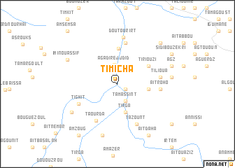
Timicha (Taroudannt, Morocco)Timicha is a town in the Taroudannt region of Morocco. An overview map of the region around Timicha is displayed below.
regional and 3d topo map of Timicha, Morocco ::
Timicha airports ::
The nearest airport is OZZ - Ouarzazate, located 120.0 km north east of Timicha.
Other airports nearby include RAK - Marrakech Menara (131.1 km north), AGA - Agadir Inezgane (147.6 km west), Nearby towns ::
Anammer (1.4km south east) //
Tabia (2.9km south) //
Tamassint (2.9km south) //
Agadir ej Jdid (3.1km north) //
Tirga (4.7km south) //
Timkit (4.4km east) //
Ammaïn (5.6km north) //
Tiriouzi (5.2km north east) //
Imzil (6.7km north) //
Taourda (6.5km south west) //
Taourirt (5.9km east) //
Aït Roho (5.9km east) //
Tilioua (6.0km east) //
Tabadant (6.0km east) //
Tighit (6.2km south west) //
Tazount (6.9km south east) //
Doutourirt (7.5km north) //
Amzaourou (7.8km south west) //
Sidi Bou Rja (8.5km south) //
Tabadrist (7.6km east) //
Imi nʼOuassif (7.9km north west) //
Agz (8.0km east) //
Timguilt (8.8km north east) //
Aït Daha (9.3km south east) //
Sidi Bou Zekri (8.9km north east) //
Amzoug (9.8km south west) //
Aït Boulemane (9.8km south east) //
Amsemsa (10.9km north west) //
[all distances 'as the bird flies' and approximate] 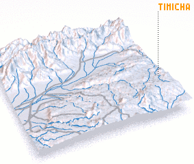 Places with similar names to Timicha, Morocco ::
Disclaimer :: Information on this page comes without warranty of any kind |
||
|
Where is Timicha? Elevation and coordinates ::
Latitude (lat): 30°25'27"N Longitude (lon): 8°0'41"W
Elevation (approx.): 1004m (map arrows pan, magnifying glasses zoom) |
||
|
Visiting Timicha? Hotel/Accommodation ::
Book a hotel in Timicha Travel Guide ::
Buy a travel guide for Morocco rental cars ::
car rental offers GPS waypoint ::
download a GPX waypoint (PoI) of Timicha for your GPS receiver
|
||