|
search place name
|
||
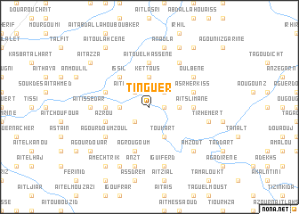
Tinguer (Tiznit, Morocco)Tinguer is a town in the Tiznit region of Morocco. An overview map of the region around Tinguer is displayed below.
regional and 3d topo map of Tinguer, Morocco ::
Tinguer airports ::
The nearest airport is AGA - Agadir Inezgane, located 69.3 km north of Tinguer.
Other airports nearby include RAK - Marrakech Menara (233.2 km north east), TTA - Tan Tan Plage Blanche (236.3 km south west), Nearby towns ::
Ansour (1.6km east) //
Tamernout (2.5km north east) //
Derb (2.5km north west) //
Aït Imouddene (2.5km north west) //
Iourann (2.5km north west) //
Tagoudicht (2.5km south west) //
Kettous (3.7km north) //
Aslougoum (3.2km east) //
Timaroaia (3.2km west) //
Toukart (4.0km south east) //
Issil (4.9km north west) //
Iboudrarene (4.8km west) //
Injarene (4.8km west) //
Aït Slimane (4.8km east) //
Aït Ou el Hassene (5.6km north) //
Tifgouki (5.2km west) //
Azrou (5.2km west) //
Asrherkiss (5.2km east) //
Agrougoum (5.8km south) //
Oulbene (6.1km north east) //
Agourd Ou Mzoul (6.1km south west) //
Tiououdem (6.4km north east) //
Aït Issedar (6.4km west) //
Tirhemert (6.7km east) //
Anadla (7.6km north) //
Iguiferd (7.6km south) //
Anzt (7.6km south) //
Amzout (7.4km south east) //
Aourir (8.1km north east) //
[all distances 'as the bird flies' and approximate]  Places with similar names to Tinguer, Morocco ::
Disclaimer :: Information on this page comes without warranty of any kind |
||
|
Where is Tinguer? Elevation and coordinates ::
Latitude (lat): 29°48'0"N Longitude (lon): 9°17'0"W
Elevation (approx.): 421m (map arrows pan, magnifying glasses zoom) |
||
|
Visiting Tinguer? Hotel/Accommodation ::
Book a hotel in Tinguer Travel Guide ::
Buy a travel guide for Morocco rental cars ::
car rental offers GPS waypoint ::
download a GPX waypoint (PoI) of Tinguer for your GPS receiver
|
||