|
search place name
|
||
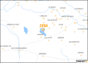
Zrok (Kenitra, Morocco)Zrok is a town in the Kenitra region of Morocco. An overview map of the region around Zrok is displayed below.
regional and 3d topo map of Zrok, Morocco ::
Zrok airports ::
The nearest airport is NNA - Kentira Kenitra, located 36.1 km west of Zrok.
Other airports nearby include RBA - Rabat Sale (61.5 km south west), MEK - Meknes Bassatine (85.5 km south east), FEZ - Fez Saiss (124.9 km south east), TNG - Tanger Ibn Batouta (151.5 km north), Nearby towns ::
Al Brahma (1.0km north west) //
Douar Layaïda (2.4km north west) //
Ouled Mbarek (2.3km north east) //
Samora (2.6km south west) //
Oulad Hanaïa (3.7km north) //
Lalla Ito (4.0km south east) //
Sidi Bou Knadel (4.5km north east) //
Oulad Saar (4.8km north east) //
Labalda (5.6km north) //
Doukkala (5.8km north) //
Ncha (6.4km east) //
Oulad Rahhou (7.3km north east) //
Ababda (7.2km south east) //
Ouled Belaïd (7.8km north east) //
Tahar Ben Ali (7.5km north east) //
El Hafari (8.8km north) //
Douar Caïd Ben Laroussi (8.3km north east) //
Chnina (11.1km north east) //
[all distances 'as the bird flies' and approximate] 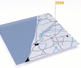 Places with similar names to Zrok, Morocco ::
Disclaimer :: Information on this page comes without warranty of any kind |
||
|
Where is Zrok? Elevation and coordinates ::
Latitude (lat): 34°23'0"N Longitude (lon): 6°13'0"W
Elevation (approx.): 12m (map arrows pan, magnifying glasses zoom) |
||
|
Visiting Zrok? Hotel/Accommodation ::
Book a hotel in Zrok Travel Guide ::
Buy a travel guide for Morocco rental cars ::
car rental offers GPS waypoint ::
download a GPX waypoint (PoI) of Zrok for your GPS receiver
|
||