|
search place name
|
||
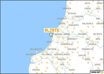
Alzate (La Union, Philippines)Alzate is a town in the La Union region of Philippines. An overview map of the region around Alzate is displayed below.
regional and 3d topo map of Alzate, Philippines ::
Alzate airports ::
The nearest airport is BAG - Baguio, located 62.6 km south of Alzate.
Nearby towns ::
Paratong Norte (0.0km north) //
Busilac (0.0km north) //
Consuegro (1.8km east) //
San Blas (1.8km east) //
Nagsabaran (1.8km east) //
Barraca (1.8km east) //
General Terrero (1.8km east) //
Paratong Sur (1.8km east) //
Quintarong (1.8km east) //
Cadapli (1.8km east) //
Bangar (2.5km east) //
Agdeppa (2.6km south east) //
Mindoro (2.6km north east) //
Caggao (2.6km north east) //
Tagudin (2.6km north east) //
Rimos (2.9km south) //
General Prim (3.5km east) //
Santo Domingo Norte (4.0km south) //
Maria Cristina (3.9km east) //
Nagbayugan (4.0km south east) //
Reyna Regente (4.0km south east) //
Union (4.0km north east) //
Oaqui (5.1km south east) //
Bucao (5.1km north east) //
Borono (5.1km north east) //
Bio (5.1km north east) //
Lubnac (5.1km north east) //
Luna (5.5km south) //
Ubbog (5.3km east) //
[all distances 'as the bird flies' and approximate] 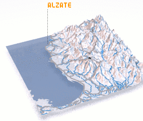 Places with similar names to Alzate, Philippines ::
Disclaimer :: Information on this page comes without warranty of any kind |
||
|
Where is Alzate? Elevation and coordinates ::
Latitude (lat): 16°54'0"N Longitude (lon): 120°24'0"E
Elevation (approx.): -32768m (map arrows pan, magnifying glasses zoom) |
||
|
Visiting Alzate? Hotel/Accommodation ::
Book a hotel in Alzate Travel Guide ::
Buy a travel guide for Philippines rental cars ::
car rental offers GPS waypoint ::
download a GPX waypoint (PoI) of Alzate for your GPS receiver
|
||