|
search place name
|
||
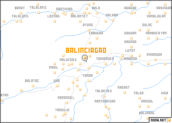
Balinciagao (Kalinga-Apayao, Philippines)Balinciagao is a town in the Kalinga-Apayao region of Philippines. An overview map of the region around Balinciagao is displayed below.
regional and 3d topo map of Balinciagao, Philippines ::
Balinciagao airports ::
The nearest airport is BAG - Baguio, located 129.4 km south west of Balinciagao.
Nearby towns ::
Maxillay (1.3km south west) //
Bananao (1.3km south west) //
Balangao (1.4km north east) //
Kagaluan (1.5km south) //
Ableg (2.5km south west) //
Dalupa (3.0km west) //
Tanglag (3.3km south east) //
Malucsod (3.7km west) //
Balbalan (4.1km north) //
Tanap (4.3km south) //
Tomiangan (4.1km east) //
Dangoy (4.3km south west) //
Guinaang (4.8km west) //
Bagtayan (4.9km west) //
Ragong (5.1km west) //
Gaang (5.3km south west) //
Cabugao (5.5km north east) //
Lubuagan (5.7km south) //
Dupag (5.9km east) //
Lubac (6.2km south) //
Bagtayan (6.5km west) //
Galdang (6.5km west) //
Ayung (6.9km north) //
Mabilang (7.0km south west) //
Pasil (6.9km west) //
Mabongtot (7.3km south) //
Naneng (7.3km east) //
Gapang (7.7km east) //
Uma (8.0km south west) //
[all distances 'as the bird flies' and approximate] 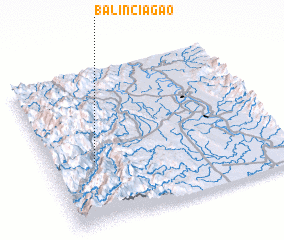 Places with similar names to Balinciagao, Philippines ::
Disclaimer :: Information on this page comes without warranty of any kind |
||
|
Where is Balinciagao? Elevation and coordinates ::
Latitude (lat): 17°24'17"N Longitude (lon): 121°11'41"E
Elevation (approx.): 665m (map arrows pan, magnifying glasses zoom) |
||
|
Visiting Balinciagao? Hotel/Accommodation ::
Book a hotel in Balinciagao Travel Guide ::
Buy a travel guide for Philippines rental cars ::
car rental offers GPS waypoint ::
download a GPX waypoint (PoI) of Balinciagao for your GPS receiver
|
||