|
search place name
|
||
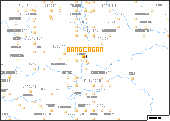
Bangcagan (Abra, Philippines)Bangcagan is a town in the Abra region of Philippines. An overview map of the region around Bangcagan is displayed below.
regional and 3d topo map of Bangcagan, Philippines ::
Bangcagan airports ::
The nearest airport is BAG - Baguio, located 104.6 km south of Bangcagan.
Nearby towns ::
Sisim (0.0km north) //
Barit (0.0km north) //
Luba (0.6km north west) //
Sabañgan (0.7km south east) //
Palicong (1.9km south) //
Baliga (1.9km south) //
Balantogan (1.8km west) //
Pacpaca (2.0km north east) //
Ampalioh (2.6km north east) //
Banbanilag (2.6km north east) //
Baybayog (3.5km west) //
Antuagan (4.0km south east) //
Bayausen (4.1km south west) //
Catsa (4.5km west) //
Gayaman (5.0km south west) //
Ampaliok (5.1km north east) //
Caocaoayan (5.1km south east) //
Dakdagan (5.1km south west) //
Muyoc (5.1km south west) //
Lul-Lono (5.1km west) //
Tubtubo (5.3km west) //
Matinobo (5.3km west) //
Lusong (5.6km north) //
Tuquipa (5.6km west) //
Agomanay (5.6km west) //
Licuan (5.6km east) //
Amtuagan (5.8km south) //
Barbarit (5.8km north) //
Lukey (5.8km south) //
[all distances 'as the bird flies' and approximate] 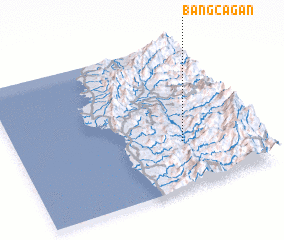 Places with similar names to Bangcagan, Philippines ::
Disclaimer :: Information on this page comes without warranty of any kind |
||
|
Where is Bangcagan? Elevation and coordinates ::
Latitude (lat): 17°19'0"N Longitude (lon): 120°42'0"E
Elevation (approx.): 174m (map arrows pan, magnifying glasses zoom) |
||
|
Visiting Bangcagan? Hotel/Accommodation ::
Book a hotel in Bangcagan Travel Guide ::
Buy a travel guide for Philippines rental cars ::
car rental offers GPS waypoint ::
download a GPX waypoint (PoI) of Bangcagan for your GPS receiver
|
||