|
search place name
|
||
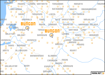
Bungon (Ilocos Norte, Philippines)Bungon is a town in the Ilocos Norte region of Philippines. An overview map of the region around Bungon is displayed below.
regional and 3d topo map of Bungon, Philippines ::
Bungon airports ::
The nearest airport is BAG - Baguio, located 189.1 km south of Bungon.
Nearby towns ::
Bacsil (1.9km south) //
Caparia-an (1.8km east) //
Bacsil (1.9km north) //
Baldias (1.9km east) //
Sidiran (2.6km south east) //
Daparyden (2.6km south west) //
Cali (2.6km south east) //
Gabon (3.7km south) //
Camangaan (3.5km east) //
San Pedro (3.5km west) //
Capasan (3.7km north) //
Marcos (4.0km south east) //
Dingras (4.0km north east) //
Bungcag (4.0km north east) //
San Bernabe (4.0km north west) //
Tangdan (4.0km north west) //
Santa Rosa (4.0km north west) //
Santo Santiago (4.0km north west) //
Bangay (4.0km east) //
Lumbad (4.5km east) //
Camandigan (4.8km west) //
Ragas (5.1km north east) //
Mandaloque (5.1km north east) //
Pariir (5.1km north west) //
Parang (5.6km north) //
Culao (5.5km south east) //
Suyo (5.8km north) //
Lanas (5.6km east) //
Bagut (6.6km north east) //
[all distances 'as the bird flies' and approximate] 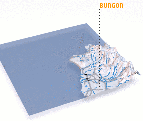 Places with similar names to Bungon, Philippines ::
Disclaimer :: Information on this page comes without warranty of any kind |
||
|
Where is Bungon? Elevation and coordinates ::
Latitude (lat): 18°5'0"N Longitude (lon): 120°40'0"E
Elevation (approx.): 48m (map arrows pan, magnifying glasses zoom) |
||
|
Visiting Bungon? Hotel/Accommodation ::
Book a hotel in Bungon Travel Guide ::
Buy a travel guide for Philippines rental cars ::
car rental offers GPS waypoint ::
download a GPX waypoint (PoI) of Bungon for your GPS receiver
|
||