|
search place name
|
||
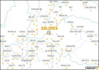
Dolores (Abra, Philippines)Dolores is a town in the Abra region of Philippines. An overview map of the region around Dolores is displayed below.
regional and 3d topo map of Dolores, Philippines ::
Dolores airports ::
The nearest airport is BAG - Baguio, located 141.1 km south of Dolores.
Nearby towns ::
Bayaan (0.8km north east) //
Cardona (1.1km west) //
Lagben (1.7km south east) //
Calumbaya (1.7km south east) //
Mudiit (1.9km south west) //
Pacac (2.3km north) //
Suli (2.4km north west) //
Lublubba (2.5km east) //
Daoidao (3.0km north east) //
Lomobang (3.3km north east) //
Bumagcat (3.5km south) //
Bagalay (3.6km south) //
Toon (3.5km north west) //
La Paz (3.9km north west) //
Gaang (4.1km north) //
Buli (4.2km north) //
Pallao (4.2km south east) //
Gaddani (4.4km south west) //
Budac (4.4km south west) //
Alogtog (4.3km south east) //
Malaki (4.5km east) //
Balais (4.5km east) //
Lam-ag (4.7km north east) //
Pangal (4.6km west) //
Alimosgan (4.7km north east) //
Pattaoig (4.7km north east) //
Guimba (4.7km north east) //
Colabaoan (4.7km north east) //
Baug (4.7km north east) //
[all distances 'as the bird flies' and approximate] 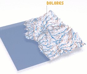 Places with similar names to Dolores, Philippines ::
Disclaimer :: Information on this page comes without warranty of any kind |
||
|
Where is Dolores? Elevation and coordinates ::
Latitude (lat): 17°38'50"N Longitude (lon): 120°42'35"E
Elevation (approx.): 77m (map arrows pan, magnifying glasses zoom) |
||
|
Visiting Dolores? Hotel/Accommodation ::
Book a hotel in Dolores Travel Guide ::
Buy a travel guide for Philippines rental cars ::
car rental offers GPS waypoint ::
download a GPX waypoint (PoI) of Dolores for your GPS receiver
|
||