|
search place name
|
||
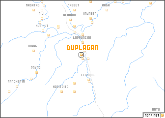
Duplagan (Kalinga-Apayao, Philippines)Duplagan is a town in the Kalinga-Apayao region of Philippines. An overview map of the region around Duplagan is displayed below.
regional and 3d topo map of Duplagan, Philippines ::
Duplagan airports ::
The nearest airport is BAG - Baguio, located 186.6 km south of Duplagan.
Nearby towns ::
Guinabong (0.0km north) //
Alilintao (1.2km east) //
Baduat (1.9km north) //
Lappuacan (3.7km north) //
Lenneng (4.9km south) //
Karagaoan (5.3km south) //
Palitao (5.6km north) //
Kabacnang (5.8km south) //
Kabugao (6.3km north) //
Latuban (7.6km north) //
Nagsimbatian (7.6km north) //
Gumang (7.6km south) //
Bulu (8.6km north) //
Mapitpita (8.7km south west) //
Nagsimbanan (8.9km north west) //
Nagbabalayan (9.1km north west) //
Alumani (9.3km north) //
Nabnuang (9.2km north west) //
[all distances 'as the bird flies' and approximate] 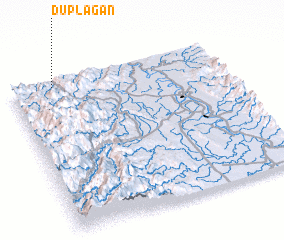 Places with similar names to Duplagan, Philippines ::
Disclaimer :: Information on this page comes without warranty of any kind |
||
|
Where is Duplagan? Elevation and coordinates ::
Latitude (lat): 17°58'0"N Longitude (lon): 121°12'0"E
Elevation (approx.): 127m (map arrows pan, magnifying glasses zoom) |
||
|
Visiting Duplagan? Hotel/Accommodation ::
Book a hotel in Duplagan Travel Guide ::
Buy a travel guide for Philippines rental cars ::
car rental offers GPS waypoint ::
download a GPX waypoint (PoI) of Duplagan for your GPS receiver
|
||