|
search place name
|
||
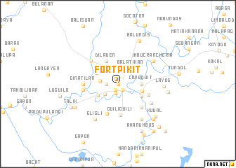
Fort Pikit (Maguindanao, Philippines)Fort Pikit is a town in the Maguindanao region of Philippines. An overview map of the region around Fort Pikit is displayed below.
regional and 3d topo map of Fort Pikit, Philippines ::
Fort Pikit airports ::
The nearest airport is CEB - Cebu Cotabato, located 51.7 km west of Fort Pikit.
Other airports nearby include CGY - Ladag Cagayan De Oro (149.3 km north), LGP - Legazpi Pagadian (157.7 km north west), Nearby towns ::
Maslapangan (0.0km north) //
Agakan (0.0km north) //
Manding (1.0km south west) //
Pikit (1.1km south east) //
Ladtingan (1.4km south) //
Kalanguan (1.8km west) //
Balugo (1.8km west) //
Kabasalan (1.8km west) //
Inug-ug (1.8km west) //
Calimbato (1.8km west) //
Angkupan (1.8km west) //
Lico (1.8km west) //
Pantakan (1.8km west) //
Bago-Inged (1.8km west) //
Tinatungan (1.8km west) //
Bong (1.8km west) //
Dulisan (1.8km west) //
Egam (1.8km west) //
Babang-Talitay (1.8km west) //
Pangi (1.8km west) //
Landang (1.8km west) //
Tangila (1.8km west) //
Damalasak (1.8km west) //
Calawag (2.6km south west) //
Panicupan (3.0km west) //
Balatikan (3.2km north east) //
Tacupan (3.2km north west) //
Manaulanan (3.7km south west) //
Caraquit (3.7km east) //
[all distances 'as the bird flies' and approximate] 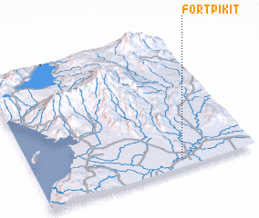 Places with similar names to Fort Pikit, Philippines :: Disclaimer :: Information on this page comes without warranty of any kind |
||
|
Where is Fort Pikit? Elevation and coordinates ::
Latitude (lat): 7°4'0"N Longitude (lon): 124°40'0"E
Elevation (approx.): 9m (map arrows pan, magnifying glasses zoom) |
||
|
Visiting Fort Pikit? Hotel/Accommodation ::
Book a hotel in Fort Pikit Travel Guide ::
Buy a travel guide for Philippines rental cars ::
car rental offers GPS waypoint ::
download a GPX waypoint (PoI) of Fort Pikit for your GPS receiver
|
||