|
search place name
|
||
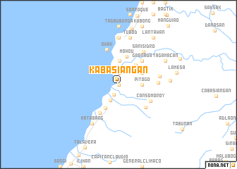
Kabasiangan (Cebu, Philippines)Kabasiangan is a town in the Cebu region of Philippines. An overview map of the region around Kabasiangan is displayed below.
regional and 3d topo map of Kabasiangan, Philippines ::
Kabasiangan airports ::
The nearest airport is NOP - Masbate Mactan Cebu Intl, located 35.8 km south east of Kabasiangan.
Other airports nearby include BCD - Bacolod (87.6 km west), ILO - Iloilo (130.3 km west), DGT - Dumaguete (136.8 km south), TAC - Tacloban Daniel Z Romualdez (164.4 km north east), Nearby towns ::
Abucayan (0.0km north) //
Ginatilan (0.0km north) //
Gaas (0.0km north) //
Kantibas (0.0km north) //
Balamban (0.7km north) //
Pondol (1.7km south west) //
Aliwanay (1.9km north) //
Kantuod (1.9km north) //
Mambocayan (2.8km south west) //
Pitogo (3.6km east) //
Nangka (3.8km north) //
Biasong (4.1km north east) //
Longan (4.1km north east) //
Singsing (4.2km north east) //
Buanoy (4.2km south west) //
Mohou (4.6km north) //
Granada (5.2km north east) //
Arpili (5.4km south west) //
Duangan (5.5km south east) //
Cansomoroy (5.6km south east) //
Owak (5.9km north) //
Vito (6.2km east) //
San Isidro (6.5km north east) //
Hingatmonan (6.5km east) //
Baye (7.4km north) //
Kaluangan (7.4km north) //
Lanao (7.4km north) //
Look Norte (7.4km north) //
Cambalolong (7.4km north) //
[all distances 'as the bird flies' and approximate] 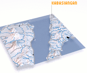 Places with similar names to Kabasiangan, Philippines ::
// Cabasiangan (PH)
Disclaimer :: Information on this page comes without warranty of any kind |
||
|
Where is Kabasiangan? Elevation and coordinates ::
Latitude (lat): 10°30'0"N Longitude (lon): 123°43'0"E
Elevation (approx.): 1m (map arrows pan, magnifying glasses zoom) |
||
|
Visiting Kabasiangan? Hotel/Accommodation ::
Book a hotel in Kabasiangan Travel Guide ::
Buy a travel guide for Philippines rental cars ::
car rental offers GPS waypoint ::
download a GPX waypoint (PoI) of Kabasiangan for your GPS receiver
|
||