|
search place name
|
||
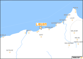
Libuan (Zamboanga del Norte, Philippines)Libuan is a town in the Zamboanga del Norte region of Philippines. An overview map of the region around Libuan is displayed below.
regional and 3d topo map of Libuan, Philippines ::
Libuan airports ::
The nearest airport is LGP - Legazpi Pagadian, located 105.5 km east of Libuan.
Other airports nearby include ZAM - Zamboanga Intl (137.9 km south), DGT - Dumaguete (162.7 km north east), CEB - Cebu Cotabato (210.5 km south east), Nearby towns ::
Labason (1.6km south west) //
Luk (2.2km south west) //
Kalawit (2.2km south west) //
Kipit (3.3km south) //
Dansalan (3.3km east) //
Quipit (5.9km west) //
Dukanunday (6.9km east) //
La Libertad (7.3km west) //
[all distances 'as the bird flies' and approximate] 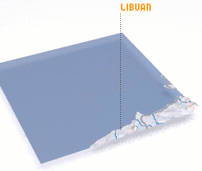 Places with similar names to Libuan, Philippines ::
Disclaimer :: Information on this page comes without warranty of any kind |
||
|
Where is Libuan? Elevation and coordinates ::
Latitude (lat): 8°4'33"N Longitude (lon): 122°32'3"E
Elevation (approx.): -32768m (map arrows pan, magnifying glasses zoom) |
||
|
Visiting Libuan? Hotel/Accommodation ::
Book a hotel in Libuan Travel Guide ::
Buy a travel guide for Philippines rental cars ::
car rental offers GPS waypoint ::
download a GPX waypoint (PoI) of Libuan for your GPS receiver
|
||