|
search place name
|
||
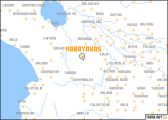
Mabayawas (Albay, Philippines)Mabayawas is a town in the Albay region of Philippines. An overview map of the region around Mabayawas is displayed below.
regional and 3d topo map of Mabayawas, Philippines ::
Mabayawas airports ::
The nearest airport is KLO - Kalibo, located 205.8 km south west of Mabayawas.
Nearby towns ::
Burabud (3.6km north) //
San Vicente (4.0km north east) //
Palanas (4.1km south east) //
Linao (4.4km north east) //
Calpi (4.6km east) //
Tobgon (4.9km south west) //
Bacolod (5.0km north east) //
Camagong (5.0km east) //
San Jose (5.1km west) //
San Isidro (5.5km north east) //
Guinimbalan (5.6km south) //
Pistola (5.7km east) //
Manga (6.5km north east) //
Casinagan (6.7km south) //
San Jacinto (6.6km north east) //
Collat (6.6km south east) //
Sabang (6.7km north east) //
Allang (6.8km south east) //
Badognoy (7.4km south) //
Molosbolos (7.2km west) //
Marayag (7.4km north east) //
Pinamoldan (7.6km south) //
Saromay (7.6km south) //
Suka (7.5km east) //
San Juan (7.5km east) //
Tolatola (7.5km east) //
San Pascual (7.6km north) //
Matara (7.6km north) //
Natasan (7.6km north) //
[all distances 'as the bird flies' and approximate] 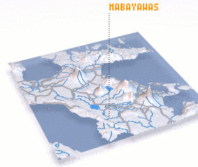 Places with similar names to Mabayawas, Philippines :: Disclaimer :: Information on this page comes without warranty of any kind |
||
|
Where is Mabayawas? Elevation and coordinates ::
Latitude (lat): 13°14'0"N Longitude (lon): 123°25'0"E
Elevation (approx.): 192m (map arrows pan, magnifying glasses zoom) |
||
|
Visiting Mabayawas? Hotel/Accommodation ::
Book a hotel in Mabayawas Travel Guide ::
Buy a travel guide for Philippines rental cars ::
car rental offers GPS waypoint ::
download a GPX waypoint (PoI) of Mabayawas for your GPS receiver
|
||