|
search place name
|
||
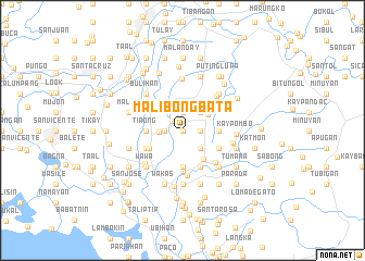
Malibong Bata (Bulacan, Philippines)Malibong Bata is a town in the Bulacan region of Philippines. An overview map of the region around Malibong Bata is displayed below.
regional and 3d topo map of Malibong Bata, Philippines ::
Malibong Bata airports ::
The nearest airport is MNL - Manila Ninoy Aquino Intl, located 38.9 km south of Malibong Bata.
Other airports nearby include BAG - Baguio (172.1 km north), Nearby towns ::
Bunsuran (0.0km north) //
Malibong Matanda (0.0km north) //
Bunsuran (1.4km north west) //
Santol (1.8km west) //
Dalig (1.8km west) //
Bagbaguin (1.9km north) //
Lawang Bato (1.8km east) //
Batia (1.8km east) //
Santa Cruz (1.8km east) //
Santol (2.3km west) //
San Roque (2.6km north east) //
Lalachan (2.6km south east) //
Pandi (3.1km north east) //
Santa Clara (3.6km south east) //
Tiaong (3.6km west) //
Tabe (3.6km west) //
Biñang Segundo (3.7km south) //
Tambobong (3.7km south) //
Kay Pombo (3.6km east) //
Burol (3.8km south west) //
Borol Segundo (4.0km south west) //
Tuva (4.1km south east) //
San Gabriel (4.1km south east) //
Bagbaguin (4.1km south east) //
Patag (4.0km south east) //
Taal (4.2km south) //
Pintog (4.2km north west) //
Turo (4.7km south) //
Santa Maria (4.6km south east) //
[all distances 'as the bird flies' and approximate] 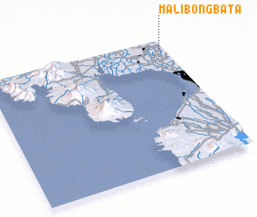 Places with similar names to Malibong Bata, Philippines :: Disclaimer :: Information on this page comes without warranty of any kind |
||
|
Where is Malibong Bata? Elevation and coordinates ::
Latitude (lat): 14°51'0"N Longitude (lon): 120°56'0"E
Elevation (approx.): 11m (map arrows pan, magnifying glasses zoom) |
||
|
Visiting Malibong Bata? Hotel/Accommodation ::
Book a hotel in Malibong Bata Travel Guide ::
Buy a travel guide for Philippines rental cars ::
car rental offers GPS waypoint ::
download a GPX waypoint (PoI) of Malibong Bata for your GPS receiver
|
||