|
search place name
|
||
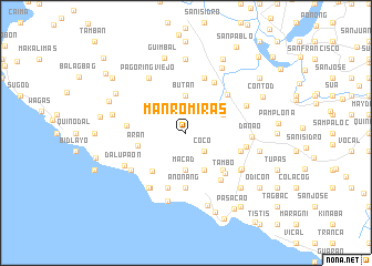
Manromiras (Camarines Sur, Philippines)Manromiras is a town in the Camarines Sur region of Philippines. An overview map of the region around Manromiras is displayed below.
regional and 3d topo map of Manromiras, Philippines ::
Manromiras airports ::
The nearest airport is KLO - Kalibo, located 221.3 km south of Manromiras.
Other airports nearby include MNL - Manila Ninoy Aquino Intl (237.1 km north west), Nearby towns ::
Coco (2.6km south east) //
Macad (3.7km south) //
Butan (3.7km north) //
Bagamilon (4.1km north east) //
Caranan (4.1km south east) //
Aran (4.9km west) //
Calibayan (5.1km south west) //
Calawat (5.2km south east) //
Anonang (5.6km south) //
Tambo (5.6km south east) //
San Ramon (5.6km north east) //
Tampadong (5.7km east) //
Aguilar (5.8km south) //
Malansad (5.8km north) //
Mambulo Nuevo (5.8km north east) //
Bahay (5.9km south east) //
Tagbac (5.8km west) //
San Vicente (6.0km east) //
Bantigui (6.6km south west) //
Danao (6.5km east) //
Salvacion (6.5km north east) //
Calibayan (6.6km south west) //
Pinaglanglagnan (6.6km south west) //
Itulan (6.6km south west) //
Batang (6.6km south east) //
Sabang (6.6km south west) //
Pagoring Viejo (6.6km north west) //
Quitang (6.6km south east) //
Dalupaon (6.9km south west) //
[all distances 'as the bird flies' and approximate] 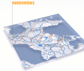 Places with similar names to Manromiras, Philippines :: Disclaimer :: Information on this page comes without warranty of any kind |
||
|
Where is Manromiras? Elevation and coordinates ::
Latitude (lat): 13°35'0"N Longitude (lon): 123°0'0"E
Elevation (approx.): 88m (map arrows pan, magnifying glasses zoom) |
||
|
Visiting Manromiras? Hotel/Accommodation ::
Book a hotel in Manromiras Travel Guide ::
Buy a travel guide for Philippines rental cars ::
car rental offers GPS waypoint ::
download a GPX waypoint (PoI) of Manromiras for your GPS receiver
|
||