|
search place name
|
||
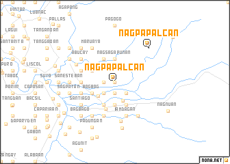
Nagpapalcan (Ilocos Norte, Philippines)Nagpapalcan is a town in the Ilocos Norte region of Philippines. An overview map of the region around Nagpapalcan is displayed below.
regional and 3d topo map of Nagpapalcan, Philippines ::
Nagpapalcan airports ::
The nearest airport is BAG - Baguio, located 195.4 km south of Nagpapalcan.
Nearby towns ::
San Julian (0.0km north) //
Bubu-os (1.8km west) //
Aguitap (1.9km south) //
Darasdas (2.6km south west) //
Nalasin (2.6km south east) //
Maananteng (3.3km south) //
Barcelona (3.5km south west) //
Gambin (3.7km south) //
Mariquet (3.7km south) //
Talugtug (3.7km south) //
Nagsagapunan (3.7km north) //
Lipay (4.1km south west) //
Bagbag (4.0km south west) //
Santa Maria (4.0km north west) //
Manalpac (4.1km south east) //
Maababucay (4.1km north west) //
Solsona (4.7km south) //
Capurictan (5.3km west) //
Cabaruan (5.6km west) //
Puttao (5.8km south) //
Guldiguid (5.6km west) //
Iamdagan (5.8km south) //
Nagpatpatan (6.5km south) //
Santiago (6.5km south west) //
San Juan (6.5km south west) //
Maruaya (6.6km north west) //
Aoang (6.6km south west) //
Gayamat (6.5km north west) //
Abucay (6.5km north west) //
[all distances 'as the bird flies' and approximate] 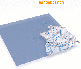 Places with similar names to Nagpapalcan, Philippines ::
// Nagpapalcan (PH)
Disclaimer :: Information on this page comes without warranty of any kind |
||
|
Where is Nagpapalcan? Elevation and coordinates ::
Latitude (lat): 18°8'0"N Longitude (lon): 120°47'0"E
Elevation (approx.): 79m (map arrows pan, magnifying glasses zoom) |
||
|
Visiting Nagpapalcan? Hotel/Accommodation ::
Book a hotel in Nagpapalcan Travel Guide ::
Buy a travel guide for Philippines rental cars ::
car rental offers GPS waypoint ::
download a GPX waypoint (PoI) of Nagpapalcan for your GPS receiver
|
||