|
search place name
|
||
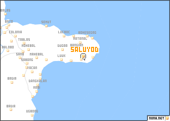
Saluyod (Basilan, Philippines)Saluyod is a town in the Basilan region of Philippines. An overview map of the region around Saluyod is displayed below.
regional and 3d topo map of Saluyod, Philippines ::
Saluyod airports ::
The nearest airport is ZAM - Zamboanga Intl, located 44.6 km north west of Saluyod.
Other airports nearby include LGP - Legazpi Pagadian (187.2 km north east), CEB - Cebu Cotabato (220.8 km east), Nearby towns ::
Kapago (0.9km west) //
Omosmarta (1.9km east) //
Kandiis (3.0km west) //
Bangian (3.1km north west) //
Matanal (4.0km north) //
Luuk (5.1km west) //
Singay (5.2km north) //
Bohesegag (5.3km north) //
Dugaa (5.5km north west) //
Tuburan (5.9km north west) //
Lucboc (7.1km north west) //
Lahilahi (8.4km west) //
Semut (11.4km north west) //
[all distances 'as the bird flies' and approximate] 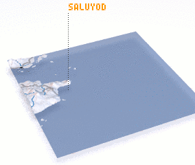 Places with similar names to Saluyod, Philippines ::
Disclaimer :: Information on this page comes without warranty of any kind |
||
|
Where is Saluyod? Elevation and coordinates ::
Latitude (lat): 6°35'43"N Longitude (lon): 122°17'43"E
Elevation (approx.): 44m (map arrows pan, magnifying glasses zoom) |
||
|
Visiting Saluyod? Hotel/Accommodation ::
Book a hotel in Saluyod Travel Guide ::
Buy a travel guide for Philippines rental cars ::
car rental offers GPS waypoint ::
download a GPX waypoint (PoI) of Saluyod for your GPS receiver
|
||