|
search place name
|
||
San Miguel (Northern Samar, Philippines)San Miguel is a town in the Northern Samar region of Philippines. An overview map of the region around San Miguel is displayed below.
regional and 3d topo map of San Miguel, Philippines ::

San Miguel airports ::
The nearest airport is TAC - Tacloban Daniel Z Romualdez, located 120.5 km south of San Miguel.
Nearby towns ::
Usang (2.6km south east) //
San Vicente (4.4km north) //
Agsaman (4.8km north east) //
Anongo (5.9km north) //
Catoto-ogan (6.5km west) //
Bulao (6.8km west) //
Hibubuliao (8.0km north west) //
Bahian (8.0km north west) //
San Jose (8.7km north west) //
Bañgon de Gamay (8.9km north east) //
Nahulid (10.6km north west) //
Cagogobñgan (11.9km north west) //
[all distances 'as the bird flies' and approximate] 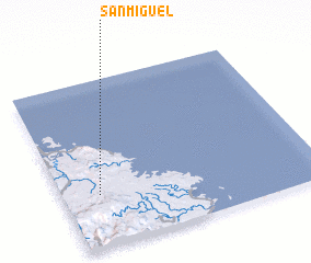 Places with similar names to San Miguel, Philippines ::
// San Miguel (BZ)
// San Miguel (BZ)
// San Miguel (US)
// San Miguel (US)
// San Miguel (US)
// San Miguel (US)
// San Miguel (US)
// San Miguel (PA)
// San Miguel (PA)
// San Miguel (PA)
Disclaimer :: Information on this page comes without warranty of any kind |
||
|
Where is San Miguel? Elevation and coordinates ::
Latitude (lat): 12°18'39"N Longitude (lon): 125°8'43"E
Elevation (approx.): 19m (map arrows pan, magnifying glasses zoom) |
||
|
Visiting San Miguel? Hotel/Accommodation ::
Book a hotel in San Miguel Travel Guide ::
Buy a travel guide for Philippines rental cars ::
car rental offers GPS waypoint ::
download a GPX waypoint (PoI) of San Miguel for your GPS receiver
|
||