|
search place name
|
||
Beetaloo Valley (South Australia, Australia)Beetaloo Valley is a town in the South Australia region of Australia. An overview map of the region around Beetaloo Valley is displayed below.
regional and 3d topo map of Beetaloo Valley, Australia ::

Beetaloo Valley airports ::
The nearest airport is ADL - Adelaide Intl, located 191.8 km south of Beetaloo Valley.
Nearby towns ::
Laura (8.3km north east) //
[all distances 'as the bird flies' and approximate] 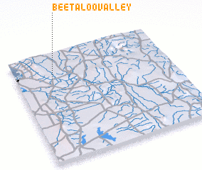 Places with similar names to Beetaloo Valley, Australia ::
// Badia al Fiolo (IT)
// Bout el Fîl (TD)
Disclaimer :: Information on this page comes without warranty of any kind |
||
|
Where is Beetaloo Valley? Elevation and coordinates ::
Latitude (lat): 33°14'0"S Longitude (lon): 138°14'0"E
Elevation (approx.): 297m (map arrows pan, magnifying glasses zoom) |
||
|
Visiting Beetaloo Valley? Hotel/Accommodation ::
Book a hotel in Beetaloo Valley Travel Guide ::
Buy a travel guide for Australia rental cars ::
car rental offers GPS waypoint ::
download a GPX waypoint (PoI) of Beetaloo Valley for your GPS receiver
|
||