|
search place name
|
||
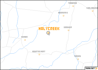
Haly Creek (Queensland, Australia)Haly Creek is a town in the Queensland region of Australia. An overview map of the region around Haly Creek is displayed below.
regional and 3d topo map of Haly Creek, Australia ::
Haly Creek airports ::
The nearest airport is MCY - Maroochydore Sunshine Coast, located 133.8 km east of Haly Creek.
Other airports nearby include BNE - Brisbane Intl (156.3 km south east), OOL - Coolangatta Gold Coast (238.8 km south east), Nearby towns ::
Goodger (6.9km east) //
Mount Egmont (8.1km south west) //
Boonenne (8.9km north east) //
[all distances 'as the bird flies' and approximate] 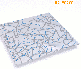 Places with similar names to Haly Creek, Australia ::
// Hall Creek (US)
// Hill Creek (US)
// Hallack Rock (ZA)
// Hollow Creek (US)
// Holly Creek (US)
// Hollow Creek (US)
// Hollow Creek (US)
// Holly Creek (US)
// Hale Creek (US)
// Halkirk (CA)
Disclaimer :: Information on this page comes without warranty of any kind |
||
|
Where is Haly Creek? Elevation and coordinates ::
Latitude (lat): 26°41'0"S Longitude (lon): 151°45'0"E
Elevation (approx.): 476m (map arrows pan, magnifying glasses zoom) |
||
|
Visiting Haly Creek? Hotel/Accommodation ::
Book a hotel in Haly Creek Travel Guide ::
Buy a travel guide for Australia rental cars ::
car rental offers GPS waypoint ::
download a GPX waypoint (PoI) of Haly Creek for your GPS receiver
|
||