|
search place name
|
||
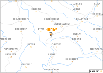
Hoods (Victoria, Australia)Hoods is a town in the Victoria region of Australia. An overview map of the region around Hoods is displayed below.
regional and 3d topo map of Hoods, Australia ::
Hoods airports ::
The nearest airport is MBW - Melbourne Moorabbin, located 126.4 km north west of Hoods.
Other airports nearby include MEB - Melbourne Essendon (155.6 km north west), MEL - Melbourne Intl (163.3 km north west), AVV - Avalon (175.1 km west), Nearby towns ::
Christies (4.0km south) //
Livingston (3.4km north west) //
Ryton (3.4km north west) //
Englishʼs Corner (4.7km north east) //
Budgeree East (5.6km north) //
Wonyip (7.4km south) //
Gunyah (6.9km south west) //
[all distances 'as the bird flies' and approximate] 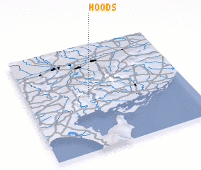 Places with similar names to Hoods, Australia ::
Disclaimer :: Information on this page comes without warranty of any kind |
||
|
Where is Hoods? Elevation and coordinates ::
Latitude (lat): 38°30'0"S Longitude (lon): 146°23'0"E
Elevation (approx.): 392m (map arrows pan, magnifying glasses zoom) |
||
|
Visiting Hoods? Hotel/Accommodation ::
Book a hotel in Hoods Travel Guide ::
Buy a travel guide for Australia rental cars ::
car rental offers GPS waypoint ::
download a GPX waypoint (PoI) of Hoods for your GPS receiver
|
||