|
search place name
|
||
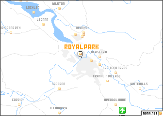
Royal Park (Tasmania, Australia)Royal Park is a town in the Tasmania region of Australia. An overview map of the region around Royal Park is displayed below.
regional and 3d topo map of Royal Park, Australia ::
Royal Park airports ::
The nearest airport is LST - Launceston, located 14.0 km south east of Royal Park.
Other airports nearby include HBA - Hobart (158.7 km south), Nearby towns ::
Inveresk (0.8km north) //
Kings Park (1.8km east) //
Newstead (3.1km east) //
Launceston (3.5km south east) //
Invermay (4.9km north) //
Mayfield (5.4km north) //
Alanvale (5.5km north) //
Newnham (5.9km north) //
Franklin Village (6.9km south east) //
Saint Leonards (6.8km south east) //
Hadspen (8.1km south west) //
Legana (10.2km north west) //
[all distances 'as the bird flies' and approximate] 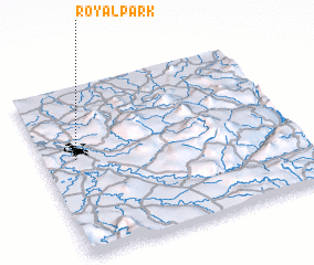 Places with similar names to Royal Park, Australia :: Disclaimer :: Information on this page comes without warranty of any kind |
||
|
Where is Royal Park? Elevation and coordinates ::
Latitude (lat): 41°26'10"S Longitude (lon): 147°7'45"E
(map arrows pan, magnifying glasses zoom) |
||
|
Visiting Royal Park? Hotel/Accommodation ::
Book a hotel in Royal Park Travel Guide ::
Buy a travel guide for Australia rental cars ::
car rental offers GPS waypoint ::
download a GPX waypoint (PoI) of Royal Park for your GPS receiver
|
||