|
search place name
|
||
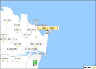
Slade Point (Queensland, Australia)Slade Point is a town in the Queensland region of Australia. An overview map of the region around Slade Point is displayed below.
regional and 3d topo map of Slade Point, Australia ::
Slade Point airports ::
The nearest airport is MKY - Mackay, located 11.7 km south west of Slade Point.
Other airports nearby include PPP - Prosserpine Proserpine Whitsunday Coast (95.0 km north west), Nearby towns ::
Amhurst (1.3km north east) //
Blacks Beach (3.8km north west) //
Andergrove (4.4km west) //
Eimeo Road (6.1km west) //
North Mackay (6.3km south west) //
Eimeo (6.3km north west) //
Cremorne (7.0km south) //
Bucasia (7.6km north west) //
Nindaroo (7.8km west) //
Victoria Park (8.7km south) //
Mackay (8.7km south) //
Devils Elbow (8.9km south west) //
Glenella (9.1km south west) //
[all distances 'as the bird flies' and approximate] 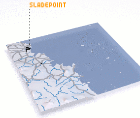 Places with similar names to Slade Point, Australia ::
Disclaimer :: Information on this page comes without warranty of any kind |
||
|
Where is Slade Point? Elevation and coordinates ::
Latitude (lat): 21°4'30"S Longitude (lon): 149°13'30"E
Elevation (approx.): 12m (map arrows pan, magnifying glasses zoom) |
||
|
Visiting Slade Point? Hotel/Accommodation ::
Book a hotel in Slade Point Travel Guide ::
Buy a travel guide for Australia rental cars ::
car rental offers GPS waypoint ::
download a GPX waypoint (PoI) of Slade Point for your GPS receiver
|
||