|
search place name
|
||
Dosokohama (Niigata, Japan)Dosokohama is a town in the Niigata region of Japan. An overview map of the region around Dosokohama is displayed below.
regional and 3d topo map of Dosokohama, Japan ::

Dosokohama airports ::
The nearest airport is TOY - Toyama, located 118.7 km south west of Dosokohama.
Other airports nearby include MMJ - Matsumoto (121.7 km south), OKO - Yokota Ab (187.3 km south east), KMQ - Kanazawa Komatsu (193.3 km south west), HND - Tokyo Intl (226.6 km south east), Nearby towns ::
Katamachi (2.4km north east) //
Yotsuya (2.4km north east) //
Hyakkemmachi-shinden (4.0km south) //
Umeda (6.3km south east) //
Nishifukushima (5.8km south west) //
Kuroi (5.8km south west) //
Naoetsu (7.0km south west) //
[all distances 'as the bird flies' and approximate] 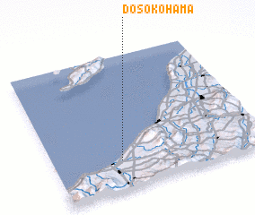 Places with similar names to Dosokohama, Japan ::
Disclaimer :: Information on this page comes without warranty of any kind |
||
|
Where is Dosokohama? Elevation and coordinates ::
Latitude (lat): 37°13'0"N Longitude (lon): 138°19'0"E
Elevation (approx.): 13m (map arrows pan, magnifying glasses zoom) |
||
|
Visiting Dosokohama? Hotel/Accommodation ::
Book a hotel in Dosokohama Travel Guide ::
Buy a travel guide for Japan rental cars ::
car rental offers GPS waypoint ::
download a GPX waypoint (PoI) of Dosokohama for your GPS receiver
|
||