|
search place name
|
||
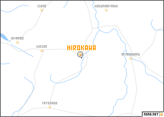
Hirokawa (Ōita, Japan)Hirokawa is a town in the Ōita region of Japan. An overview map of the region around Hirokawa is displayed below.
regional and 3d topo map of Hirokawa, Japan ::
Hirokawa airports ::
The nearest airport is KMJ - Kumamoto, located 32.7 km south of Hirokawa.
Other airports nearby include FUK - Fukuoka (70.8 km north west), KKJ - New Kitakyushu (81.1 km north), OIT - Oita (82.3 km north east), UBJ - Yamaguchi Ube (94.8 km north), Nearby towns ::
[all distances 'as the bird flies' and approximate] 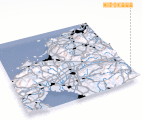 Places with similar names to Hirokawa, Japan ::
Disclaimer :: Information on this page comes without warranty of any kind |
||
|
Where is Hirokawa? Elevation and coordinates ::
Latitude (lat): 33°7'0"N Longitude (lon): 130°58'0"E
Elevation (approx.): 440m (map arrows pan, magnifying glasses zoom) |
||
|
Visiting Hirokawa? Hotel/Accommodation ::
Book a hotel in Hirokawa Travel Guide ::
Buy a travel guide for Japan rental cars ::
car rental offers GPS waypoint ::
download a GPX waypoint (PoI) of Hirokawa for your GPS receiver
|
||