|
search place name
|
||
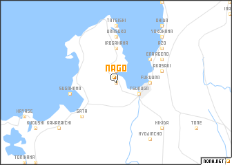
Nago (Fukui, Japan)Nago is a town in the Fukui region of Japan. An overview map of the region around Nago is displayed below.
regional and 3d topo map of Nago, Japan ::
Nago airports ::
The nearest airport is KMQ - Kanazawa Komatsu, located 87.5 km north of Nago.
Other airports nearby include ITM - Osaka Intl (111.8 km south west), TOY - Toyama (150.5 km north east), TTJ - Tottori (169.8 km west), MMJ - Matsumoto (179.3 km east), Nearby towns ::
Futamura (0.0km north) //
Jōgu (1.9km north) //
Kutsu (1.9km north) //
Nōma (1.9km north) //
Tsuruga (3.5km south east) //
Matsushima (3.5km south east) //
Maruyama (4.5km east) //
Fukuura (4.5km east) //
Tenoura (5.6km north) //
Irogahama (5.6km north) //
Era (5.8km north east) //
Itsuhata (5.8km north east) //
Urasoko (7.4km north) //
Sugahama (6.3km west) //
Akasaki (6.3km east) //
Sata (7.2km south west) //
Ageno (7.1km north east) //
Azo (8.2km north east) //
Suizu (9.5km north east) //
Yokohama (9.5km north east) //
Ō-hida (9.5km north east) //
Hikida (9.6km south east) //
[all distances 'as the bird flies' and approximate] 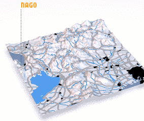 Places with similar names to Nago, Japan ::
Disclaimer :: Information on this page comes without warranty of any kind |
||
|
Where is Nago? Elevation and coordinates ::
Latitude (lat): 35°40'0"N Longitude (lon): 136°2'0"E
Elevation (approx.): 235m (map arrows pan, magnifying glasses zoom) |
||
|
Visiting Nago? Hotel/Accommodation ::
Book a hotel in Nago Travel Guide ::
Buy a travel guide for Japan rental cars ::
car rental offers GPS waypoint ::
download a GPX waypoint (PoI) of Nago for your GPS receiver
|
||