|
search place name
|
||
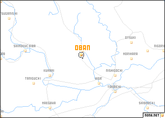
Ōban (Hiroshima, Japan)Ōban is a town in the Hiroshima region of Japan. An overview map of the region around Ōban is displayed below.
regional and 3d topo map of Ōban, Japan ::
Ōban airports ::
The nearest airport is HIJ - Hiroshima, located 49.4 km south of Ōban.
Other airports nearby include IZO - Izumo (61.5 km north), YGJ - Miho (80.7 km north east), OKJ - Okayama (98.8 km east), MYJ - Matsuyama (115.6 km south), Nearby towns ::
Kami-funo (1.9km north) //
Hige (6.3km south east) //
Kumami (7.1km south west) //
Higashi-gōchi (7.1km south east) //
Nishi-gōchi (7.1km south east) //
Tōkaichi (9.6km south east) //
Miyoshi (9.6km south east) //
[all distances 'as the bird flies' and approximate] 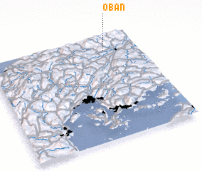 Places with similar names to Ōban, Japan ::
Disclaimer :: Information on this page comes without warranty of any kind |
||
|
Where is Ōban? Elevation and coordinates ::
Latitude (lat): 34°52'0"N Longitude (lon): 132°47'0"E
Elevation (approx.): 220m (map arrows pan, magnifying glasses zoom) |
||
|
Visiting Ōban? Hotel/Accommodation ::
Book a hotel in Ōban Travel Guide ::
Buy a travel guide for Japan rental cars ::
car rental offers GPS waypoint ::
download a GPX waypoint (PoI) of Ōban for your GPS receiver
|
||