|
search place name
|
||
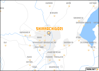
Shimmachidōri (Kyōto, Japan)Shimmachidōri is a town in the Kyōto region of Japan. An overview map of the region around Shimmachidōri is displayed below.
regional and 3d topo map of Shimmachidōri, Japan ::
Shimmachidōri airports ::
The nearest airport is ITM - Osaka Intl, located 39.5 km south west of Shimmachidōri.
Other airports nearby include TKS - Tokushima (144.7 km south west), SHM - Nanki-shirahama Nanki Shirahama (154.7 km south), TTJ - Tottori (156.3 km west), KMQ - Kanazawa Komatsu (163.5 km north), Nearby towns ::
Shimo-dachiyuuridōri (1.5km west) //
Nishijin (2.4km north west) //
Giommachi (2.4km south east) //
Keage (2.4km south east) //
Shijōdōri (2.4km south west) //
Kyōto (2.4km south west) //
Nishinotōindōri (2.4km south west) //
Kinugasa (3.6km north west) //
Nishi-kujō-Toriiguchichō (4.0km south) //
Saiin (3.6km south west) //
Karahashi-rajōmonchō (4.8km south west) //
Kami-toba (6.3km south west) //
Anju (5.9km south east) //
Sagano (6.1km west) //
Iwakura (7.6km north) //
Momoyama-chō (7.6km south) //
Shinomiya (7.1km south east) //
Katsurachō (7.1km south west) //
Daigo (8.7km south east) //
[all distances 'as the bird flies' and approximate] 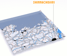 Places with similar names to Shimmachidōri, Japan ::
// Cham-e Shāţer (IR)
Disclaimer :: Information on this page comes without warranty of any kind |
||
|
Where is Shimmachidōri? Elevation and coordinates ::
Latitude (lat): 35°1'0"N Longitude (lon): 135°46'0"E
Elevation (approx.): 49m (map arrows pan, magnifying glasses zoom) |
||
|
Visiting Shimmachidōri? Hotel/Accommodation ::
Book a hotel in Shimmachidōri Travel Guide ::
Buy a travel guide for Japan rental cars ::
car rental offers GPS waypoint ::
download a GPX waypoint (PoI) of Shimmachidōri for your GPS receiver
|
||