|
search place name
|
||
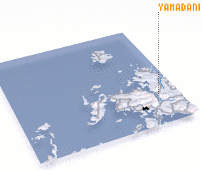
Yamadani (Saga, Japan)Yamadani is a town in the Saga region of Japan. An overview map of the region around Yamadani is displayed below.
regional and 3d topo map of Yamadani, Japan ::

Yamadani airports ::
The nearest airport is NGS - Nagasaki, located 35.6 km south of Yamadani.
Other airports nearby include IKI - Iki (57.5 km north), FUK - Fukuoka (68.2 km north east), KMJ - Kumamoto (103.7 km south east), FUJ - Fukue (114.0 km south west), Nearby towns ::
 Places with similar names to Yamadani, Japan ::
// Yŏmt'an-ni (KP)
// Yammah Town (LR)
// Yema Town (LR)
// Yomo Town (LR)
// Yomo Town (LR)
// Yomadein (MM)
// Yematan (CN)
// Yematan (CN)
// Yamba Town (SL)
Disclaimer :: Information on this page comes without warranty of any kind |
||
|
Where is Yamadani? Elevation and coordinates ::
Latitude (lat): 33°14'0"N Longitude (lon): 129°51'0"E
Elevation (approx.): 24m (map arrows pan, magnifying glasses zoom) |
||
|
Visiting Yamadani? Hotel/Accommodation ::
Book a hotel in Yamadani Travel Guide ::
Buy a travel guide for Japan rental cars ::
car rental offers GPS waypoint ::
download a GPX waypoint (PoI) of Yamadani for your GPS receiver
|
||