|
search place name
|
||
Albiniţa (Chişinău, Moldova)Albiniţa is a town in the Chişinău region of Moldova. An overview map of the region around Albiniţa is displayed below.
regional and 3d topo map of Albiniţa, Moldova ::

Albiniţa airports ::
The nearest airport is KIV - Kichinau Fir/acc/com Chisinau Intl, located 19.0 km west of Albiniţa.
Other airports nearby include IAS - Iasi (122.3 km west), ODS - Odessa Odesa Intl (126.0 km south east), TCE - Tulcea Cataloi (206.3 km south), Nearby towns ::
Socoleni (2.5km north east) //
Ruseni (2.1km east) //
Botnăreştii Noi (3.3km north) //
Ţînţăreni (3.0km north west) //
Botnăreşti (5.0km north) //
Creţoaia (4.0km south west) //
Salcia (5.8km north) //
Anenii Noi (4.1km east) //
Cobusca Nouă (5.2km north east) //
Chirca (6.1km north west) //
Ciobanovca (8.6km south) //
Geamănă (8.5km south) //
[all distances 'as the bird flies' and approximate] 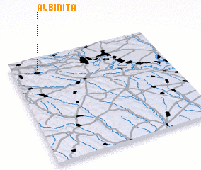 Places with similar names to Albiniţa, Moldova ::
Disclaimer :: Information on this page comes without warranty of any kind |
||
|
Where is Albiniţa? Elevation and coordinates ::
Latitude (lat): 46°53'26"N Longitude (lon): 29°10'26"E
Elevation (approx.): 33m (map arrows pan, magnifying glasses zoom) |
||
|
Visiting Albiniţa? Hotel/Accommodation ::
Book a hotel in Albiniţa Travel Guide ::
Buy a travel guide for Moldova rental cars ::
car rental offers GPS waypoint ::
download a GPX waypoint (PoI) of Albiniţa for your GPS receiver
|
||