|
search place name
|
||
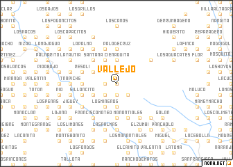
Vallejo (San Cristóbal, Dominican Republic)Vallejo is a town in the San Cristóbal region of Dominican Republic. An overview map of the region around Vallejo is displayed below.
regional and 3d topo map of Vallejo, Dominican Republic ::
Vallejo airports ::
The nearest airport is SDQ - Santo Domingo Las Americas Intl, located 70.1 km east of Vallejo.
Other airports nearby include BRX - Barahona Maria Montez Intl (91.8 km west), STI - Santiago Cibao Intl (97.7 km north), POP - Puerto Plata Gregorio Luperon Intl (134.5 km north), LRM - La Romana Casa De Campo Intl (148.9 km east), Nearby towns ::
Monteada Nueva (0.0km north) //
Calderón (1.9km north) //
Melitón (1.8km west) //
La Laguna (1.9km south) //
Hoyo Prieto (2.6km south west) //
Los Calimetes (2.6km south east) //
Cienaguita (3.7km north) //
La Pocilga (3.7km south) //
Cañada de Agua (4.0km north west) //
Santana (4.1km north west) //
Los Jengibres (4.0km south west) //
La Siembra (4.0km south west) //
Los Arroyos (4.0km south west) //
Los Mineros (4.1km south west) //
Santana (5.1km north west) //
Los Naranjos (5.3km west) //
Mahoma Abajo (5.3km west) //
Palo de la Higuera (5.3km west) //
Los Candonguitos (5.6km south) //
Palo de Cruz (5.6km north) //
Resolí (5.6km west) //
Arroyo de Piedra (5.8km north) //
Mahomita (5.8km north) //
Los Arroyitos (5.8km north) //
Benito (5.8km north) //
Silloncito (5.6km west) //
La Palma Abajo (5.6km west) //
Manantiales (5.8km south) //
El Guineo (5.8km south) //
[all distances 'as the bird flies' and approximate] 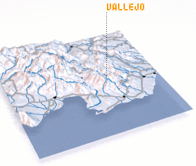 Places with similar names to Vallejo, Dominican Republic ::
Disclaimer :: Information on this page comes without warranty of any kind |
||
|
Where is Vallejo? Elevation and coordinates ::
Latitude (lat): 18°34'0"N Longitude (lon): 70°19'0"W
Elevation (approx.): 563m (map arrows pan, magnifying glasses zoom) |
||
|
Visiting Vallejo? Hotel/Accommodation ::
Book a hotel in Vallejo Travel Guide ::
rental cars ::
car rental offers GPS waypoint ::
download a GPX waypoint (PoI) of Vallejo for your GPS receiver
|
||