|
search place name
|
||
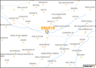
Rodnya (Mahilyowskaya Voblastsʼ, Belarus)Rodnya is a town in the Mahilyowskaya Voblastsʼ region of Belarus. An overview map of the region around Rodnya is displayed below.
regional and 3d topo map of Rodnya, Belarus ::
Rodnya airports ::
The nearest airport is GME - Gomel, located 133.0 km south west of Rodnya.
Other airports nearby include VTB - Vitebsk (213.9 km north west), Nearby towns ::
Krivaya (1.5km south) //
Sudzily (4.1km north) //
Zheleyevka (3.0km south west) //
Semënovka (5.1km south) //
Bolʼshaya Semënovka (5.3km south) //
Malaya Semënovka (5.3km south) //
Sobolevka Lapina (3.8km north east) //
Sidorovka (5.8km north) //
Kholdeyevka (6.1km south east) //
Leonopolʼye (4.6km east) //
Myslevshchina (7.4km north) //
Kommuna Felisberg (8.6km south) //
Zaroy (6.1km north west) //
Rekta (8.7km north) //
Yavulin (7.7km south east) //
Sennaya (8.1km north west) //
Kolodezʼki (7.8km south east) //
Bolʼshaya Voloskovnya (8.5km south west) //
Voloskovnya (8.4km south west) //
Malaya Voloskovnya (8.4km south west) //
[all distances 'as the bird flies' and approximate] 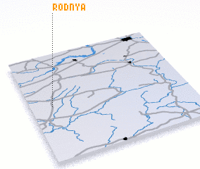 Places with similar names to Rodnya, Belarus ::
Disclaimer :: Information on this page comes without warranty of any kind |
||
|
Where is Rodnya? Elevation and coordinates ::
Latitude (lat): 53°30'48"N Longitude (lon): 32°8'10"E
Elevation (approx.): 175m (map arrows pan, magnifying glasses zoom) |
||
|
Visiting Rodnya? Hotel/Accommodation ::
Book a hotel in Rodnya Travel Guide ::
Buy a travel guide for Belarus rental cars ::
car rental offers GPS waypoint ::
download a GPX waypoint (PoI) of Rodnya for your GPS receiver
|
||