|
search place name
|
||
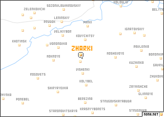
Zharki (Mahilyowskaya Voblastsʼ, Belarus)Zharki is a town in the Mahilyowskaya Voblastsʼ region of Belarus. An overview map of the region around Zharki is displayed below.
regional and 3d topo map of Zharki, Belarus ::
Zharki airports ::
The nearest airport is GME - Gomel, located 92.4 km south west of Zharki.
Other airports nearby include VTB - Vitebsk (245.5 km north west), Nearby towns ::
Budishche (0.8km south) //
Vishenki (3.4km south) //
Kovychitsy (4.3km north) //
Voronovka (4.1km north west) //
Kolybel' (6.1km south) //
Mokroye (3.9km west) //
Velikiy Bor (5.9km north west) //
Panki (7.5km north) //
Moshevoye (4.6km east) //
Gutka (5.7km north west) //
Shiryayevka (8.3km south west) //
Leninskiy (8.9km north) //
Borovaya (7.7km north east) //
Prudok (8.7km north west) //
[all distances 'as the bird flies' and approximate] 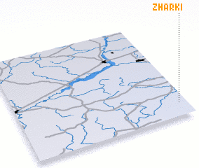 Places with similar names to Zharki, Belarus ::
Disclaimer :: Information on this page comes without warranty of any kind |
||
|
Where is Zharki? Elevation and coordinates ::
Latitude (lat): 53°7'58"N Longitude (lon): 31°57'17"E
Elevation (approx.): 147m (map arrows pan, magnifying glasses zoom) |
||
|
Visiting Zharki? Hotel/Accommodation ::
Book a hotel in Zharki Travel Guide ::
Buy a travel guide for Belarus rental cars ::
car rental offers GPS waypoint ::
download a GPX waypoint (PoI) of Zharki for your GPS receiver
|
||