|
search place name
|
||
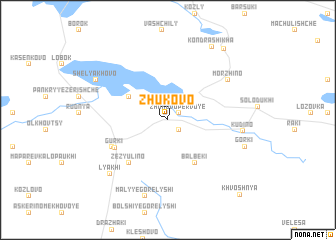
Zhukovo (Vitsyebskaya Voblastsʼ, Belarus)Zhukovo is a town in the Vitsyebskaya Voblastsʼ region of Belarus. An overview map of the region around Zhukovo is displayed below.
regional and 3d topo map of Zhukovo, Belarus ::
Zhukovo airports ::
The nearest airport is VTB - Vitebsk, located 78.1 km south of Zhukovo.
Nearby towns ::
Zhukovo Pervoye (1.0km north east) //
Zhukovo Vtoroye (1.3km south east) //
Maloye Ozerishche (3.6km north west) //
Olʼshaniki (5.1km south) //
Balbeki (5.1km south) //
Zezyulino (5.4km south west) //
Gurki (4.5km south west) //
Pylʼki (4.6km south west) //
Morzhino (5.8km north east) //
Kudino (4.9km east) //
Lyakhi (7.1km south west) //
Malyye Gorelyshi (8.6km south) //
Gorki (5.7km south east) //
Shelyakhovo (6.4km north west) //
Kondrashikha (8.6km north) //
Usovo (8.6km north east) //
Khvoshnya (9.5km south east) //
[all distances 'as the bird flies' and approximate] 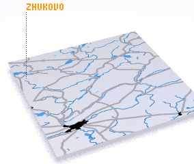 Places with similar names to Zhukovo, Belarus ::
Disclaimer :: Information on this page comes without warranty of any kind |
||
|
Where is Zhukovo? Elevation and coordinates ::
Latitude (lat): 55°48'36"N Longitude (lon): 30°4'22"E
Elevation (approx.): 166m (map arrows pan, magnifying glasses zoom) |
||
|
Visiting Zhukovo? Hotel/Accommodation ::
Book a hotel in Zhukovo Travel Guide ::
Buy a travel guide for Belarus rental cars ::
car rental offers GPS waypoint ::
download a GPX waypoint (PoI) of Zhukovo for your GPS receiver
|
||