|
search place name
|
||
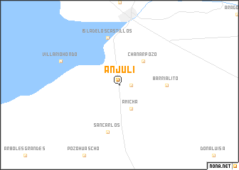
Anjuli (Santiago del Estero, Argentina)Anjuli is a town in the Santiago del Estero region of Argentina. An overview map of the region around Anjuli is displayed below.
regional and 3d topo map of Anjuli, Argentina ::
Anjuli airports ::
The nearest airport is SDE - Santiago Del Estero, located 57.9 km east of Anjuli.
Other airports nearby include TUC - Tucuman Teniente Benjamin Matienzo (87.4 km north), CTC - Catamarca (140.2 km south west), IRJ - La Rioja (273.2 km south west), Nearby towns ::
Bahoma (1.6km east) //
Amicha (4.1km south east) //
Chañar Pozo (5.0km north east) //
Barrialito (6.6km east) //
San Carlos (7.6km south) //
Isla de los Castillos (7.6km north) //
[all distances 'as the bird flies' and approximate] 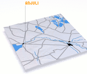 Places with similar names to Anjuli, Argentina ::
// Angelo (CM)
// Angel (US)
// Angell (US)
// Angiola (US)
// Anijala (EE)
// Anijala (EE)
// An Nujaylah (EG)
// Aïn Jioula (TN)
// Anjala (MG)
// Āngīl (IR)
Disclaimer :: Information on this page comes without warranty of any kind |
||
|
Where is Anjuli? Elevation and coordinates ::
Latitude (lat): 27°36'0"S Longitude (lon): 64°52'0"W
Elevation (approx.): 293m (map arrows pan, magnifying glasses zoom) |
||
|
Visiting Anjuli? Hotel/Accommodation ::
Book a hotel in Anjuli Travel Guide ::
Buy a travel guide for Argentina rental cars ::
car rental offers GPS waypoint ::
download a GPX waypoint (PoI) of Anjuli for your GPS receiver
|
||