|
search place name
|
||
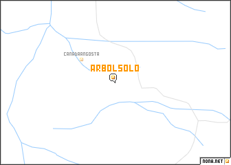
Árbol Solo (San Luis, Argentina)Árbol Solo is a town in the San Luis region of Argentina. An overview map of the region around Árbol Solo is displayed below.
regional and 3d topo map of Árbol Solo, Argentina ::
Árbol Solo airports ::
The nearest airport is LUQ - San Luis, located 86.8 km south of Árbol Solo.
Other airports nearby include VDR - Villa Dolores (141.7 km north east), UAQ - San Julian San Juan (208.4 km north west), Nearby towns ::
Cañada Angosta (6.0km north west) //
[all distances 'as the bird flies' and approximate]  Places with similar names to Árbol Solo, Argentina ::
// Árbol Solo (BO)
// Arbolsolo (CO)
// Árbol Solo (CO)
// Árbolsol (PE)
// Árbol Solo (CO)
// Árbol Solo (AR)
// Árbol Solo (AR)
Disclaimer :: Information on this page comes without warranty of any kind |
||
|
Where is Árbol Solo? Elevation and coordinates ::
Latitude (lat): 32°30'0"S Longitude (lon): 66°30'0"W
Elevation (approx.): 562m (map arrows pan, magnifying glasses zoom) |
||
|
Visiting Árbol Solo? Hotel/Accommodation ::
Book a hotel in Árbol Solo Travel Guide ::
Buy a travel guide for Argentina rental cars ::
car rental offers GPS waypoint ::
download a GPX waypoint (PoI) of Árbol Solo for your GPS receiver
|
||