|
search place name
|
||
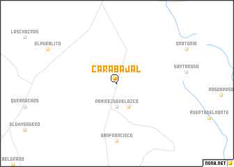
Carabajal (Santiago del Estero, Argentina)Carabajal is a town in the Santiago del Estero region of Argentina. An overview map of the region around Carabajal is displayed below.
regional and 3d topo map of Carabajal, Argentina ::
Carabajal airports ::
The nearest airport is SDE - Santiago Del Estero, located 179.1 km north west of Carabajal.
Nearby towns ::
Ramírez de Velazco (3.7km south) //
Pozo del Monte (4.0km south east) //
[all distances 'as the bird flies' and approximate] 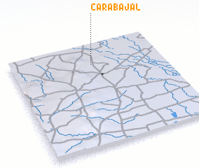 Places with similar names to Carabajal, Argentina ::
// Grabijolai (LT)
// Carbajal (ES)
// Carbajal (ES)
// Carbajal (ES)
// Carbajal (ES)
// Gar Bājāil (BD)
// Carbajal (MX)
// Carbajal (MX)
// Carbajal (MX)
// Carbajal (PE)
Disclaimer :: Information on this page comes without warranty of any kind |
||
|
Where is Carabajal? Elevation and coordinates ::
Latitude (lat): 29°12'0"S Longitude (lon): 63°28'0"W
Elevation (approx.): 202m (map arrows pan, magnifying glasses zoom) |
||
|
Visiting Carabajal? Hotel/Accommodation ::
Book a hotel in Carabajal Travel Guide ::
Buy a travel guide for Argentina rental cars ::
car rental offers GPS waypoint ::
download a GPX waypoint (PoI) of Carabajal for your GPS receiver
|
||