|
search place name
|
||
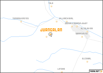
Juan Galán (Jujuy, Argentina)Juan Galán is a town in the Jujuy region of Argentina. An overview map of the region around Juan Galán is displayed below.
regional and 3d topo map of Juan Galán, Argentina ::
Juan Galán airports ::
The nearest airport is JUJ - Jujuy, located 34.9 km south east of Juan Galán.
Other airports nearby include SLA - Salta (71.6 km south), ORA - Oran (159.5 km north east), BJO - Bermejo (193.7 km north east), Nearby towns ::
Guerrero (1.7km west) //
Reyes (5.8km north) //
Villa Achával (7.5km north east) //
Los Perales (7.7km north east) //
[all distances 'as the bird flies' and approximate] 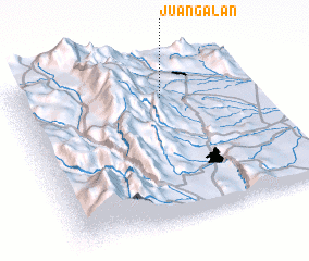 Places with similar names to Juan Galán, Argentina ::
// Jaunaglona (LV)
// Jūni Kalān (IN)
// Jaunay-Clan (FR)
// Giồng Lôn (VN)
// Jianglin (CN)
// Jinglan (CN)
// Jinglan (CN)
// Jinglin (CN)
// Jinglin (CN)
// Jung-lin (TW)
Disclaimer :: Information on this page comes without warranty of any kind |
||
|
Where is Juan Galán? Elevation and coordinates ::
Latitude (lat): 24°13'0"S Longitude (lon): 65°23'0"W
Elevation (approx.): 1470m (map arrows pan, magnifying glasses zoom) |
||
|
Visiting Juan Galán? Hotel/Accommodation ::
Book a hotel in Juan Galán Travel Guide ::
Buy a travel guide for Argentina rental cars ::
car rental offers GPS waypoint ::
download a GPX waypoint (PoI) of Juan Galán for your GPS receiver
|
||