|
search place name
|
||
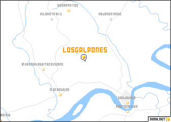
Los Galpones (Misiones, Argentina)Los Galpones is a town in the Misiones region of Argentina. An overview map of the region around Los Galpones is displayed below.
regional and 3d topo map of Los Galpones, Argentina ::
Los Galpones airports ::
The nearest airport is PSS - Posadas, located 87.5 km north west of Los Galpones.
Other airports nearby include GEL - Santo Angelo (116.0 km south east), STM - Santarem Santa Maria (259.1 km south east), AOL - Paso De Los Libres (282.1 km south west), URG - Uruguaiana Rubem Berta (282.6 km south west), Nearby towns ::
Villa Rural (2.5km north west) //
Itacaruaré (8.9km south west) //
[all distances 'as the bird flies' and approximate]  Places with similar names to Los Galpones, Argentina ::
// Los Galpones (VE)
Disclaimer :: Information on this page comes without warranty of any kind |
||
|
Where is Los Galpones? Elevation and coordinates ::
Latitude (lat): 27°48'0"S Longitude (lon): 55°13'0"W
Elevation (approx.): 124m (map arrows pan, magnifying glasses zoom) |
||
|
Visiting Los Galpones? Hotel/Accommodation ::
Book a hotel in Los Galpones Travel Guide ::
Buy a travel guide for Argentina rental cars ::
car rental offers GPS waypoint ::
download a GPX waypoint (PoI) of Los Galpones for your GPS receiver
|
||