|
search place name
|
||
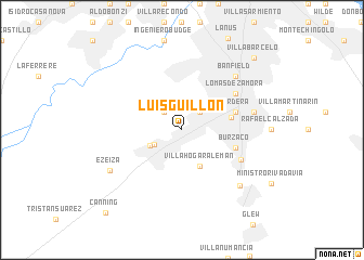
Luis Guillón (Buenos Aires, Argentina)Luis Guillón is a town in the Buenos Aires region of Argentina. An overview map of the region around Luis Guillón is displayed below.
regional and 3d topo map of Luis Guillón, Argentina ::
Luis Guillón airports ::
The nearest airport is AEP - Buenos Aires Aeroparque Jorge Newbery, located 26.9 km north of Luis Guillón.
Other airports nearby include LPG - La Plata (54.2 km east), GHU - Gualeguaychu (199.1 km north), Nearby towns ::
Villa El Rincón (2.4km north west) //
Llavallol (2.4km north east) //
Santa Catalina (2.4km north east) //
Barrio Esteban Echeverría (2.7km south west) //
Esteban Echeverría (3.1km south west) //
Villa Hogar Alemán (4.0km south) //
Almirante Brown (4.4km east) //
Temperley (4.9km east) //
Turdera (4.9km east) //
Burzaco (4.9km east) //
Lomas de Zamora (5.9km north east) //
Florencio Varela (5.8km south east) //
José Mármol (6.4km east) //
Villa Galicia (6.4km east) //
Banfield (7.2km north east) //
Longchamps (7.5km south east) //
Ezeiza (7.5km south west) //
Villa Barcelo (9.6km north east) //
Remedios de Escalada (9.6km north east) //
Canning (10.7km south west) //
[all distances 'as the bird flies' and approximate] 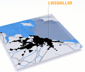 Places with similar names to Luis Guillón, Argentina ::
Disclaimer :: Information on this page comes without warranty of any kind |
||
|
Where is Luis Guillón? Elevation and coordinates ::
Latitude (lat): 34°48'0"S Longitude (lon): 58°27'0"W
Elevation (approx.): 16m (map arrows pan, magnifying glasses zoom) |
||
|
Visiting Luis Guillón? Hotel/Accommodation ::
Book a hotel in Luis Guillón Travel Guide ::
Buy a travel guide for Argentina rental cars ::
car rental offers GPS waypoint ::
download a GPX waypoint (PoI) of Luis Guillón for your GPS receiver
|
||