|
search place name
|
||
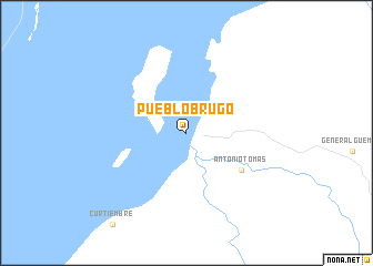
Pueblo Brugo (Entre Ríos, Argentina)Pueblo Brugo is a town in the Entre Ríos region of Argentina. An overview map of the region around Pueblo Brugo is displayed below.
regional and 3d topo map of Pueblo Brugo, Argentina ::
Pueblo Brugo airports ::
The nearest airport is PRA - Parana General Urquiza, located 58.2 km south west of Pueblo Brugo.
Other airports nearby include SFN - Santa Fe Sauce Viejo (76.8 km south west), ROS - Rosario (180.5 km south), GHU - Gualeguaychu (228.5 km south east), Nearby towns ::
Antonio Tomás (6.0km south east) //
[all distances 'as the bird flies' and approximate] 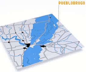 Places with similar names to Pueblo Brugo, Argentina ::
Disclaimer :: Information on this page comes without warranty of any kind |
||
|
Where is Pueblo Brugo? Elevation and coordinates ::
Latitude (lat): 31°23'0"S Longitude (lon): 60°6'0"W
Elevation (approx.): 15m (map arrows pan, magnifying glasses zoom) |
||
|
Visiting Pueblo Brugo? Hotel/Accommodation ::
Book a hotel in Pueblo Brugo Travel Guide ::
Buy a travel guide for Argentina rental cars ::
car rental offers GPS waypoint ::
download a GPX waypoint (PoI) of Pueblo Brugo for your GPS receiver
|
||