|
search place name
|
||
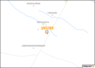
Urizar (Tucumán, Argentina)Urizar is a town in the Tucumán region of Argentina. An overview map of the region around Urizar is displayed below.
regional and 3d topo map of Urizar, Argentina ::
Urizar airports ::
The nearest airport is TUC - Tucuman Teniente Benjamin Matienzo, located 51.6 km west of Urizar.
Other airports nearby include SDE - Santiago Del Estero (123.7 km south), SLA - Salta (220.4 km north west), CTC - Catamarca (239.4 km south west), Nearby towns ::
Monte Cristo (4.1km north west) //
San Arturo (3.8km north west) //
Tinajeros (7.6km north) //
Gobernador Piedrabuena (7.5km south west) //
[all distances 'as the bird flies' and approximate] 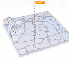 Places with similar names to Urizar, Argentina ::
Disclaimer :: Information on this page comes without warranty of any kind |
||
|
Where is Urizar? Elevation and coordinates ::
Latitude (lat): 26°41'0"S Longitude (lon): 64°37'0"W
Elevation (approx.): 363m (map arrows pan, magnifying glasses zoom) |
||
|
Visiting Urizar? Hotel/Accommodation ::
Book a hotel in Urizar Travel Guide ::
Buy a travel guide for Argentina rental cars ::
car rental offers GPS waypoint ::
download a GPX waypoint (PoI) of Urizar for your GPS receiver
|
||