|
search place name
|
||
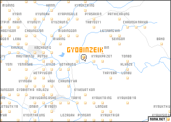
Gyobinzeik (Myanmar)Gyobinzeik is a town in Myanmar. An overview map of the region around Gyobinzeik is displayed below.
regional and 3d topo map of Gyobinzeik, Myanmar ::
Gyobinzeik airports ::
The nearest airport is HEH - Heho, located 204.4 km north of Gyobinzeik.
Nearby towns ::
Pyonchaung (1.8km west) //
Nagamauk (1.8km east) //
Magyibin (1.8km east) //
Kyaukpazet (3.5km east) //
Dothaung (4.0km south west) //
Hlawga-in (4.0km north east) //
Yezingon (5.8km north) //
Thayettaw (5.6km west) //
Inwaing (6.4km north west) //
Pebok (6.6km south west) //
Indainggon (6.6km north west) //
Chaungywa (6.6km south west) //
Yegyaw (6.6km south west) //
Thayeba (6.4km south east) //
Paunglaungdin (7.0km west) //
Kywèdatkon (7.4km south) //
Kyaukpon-ale (7.4km south) //
Padetmyaung (7.3km west) //
Mogaung (7.3km west) //
Kyizo (7.3km west) //
Tabyegyi (7.6km north) //
Alemyaung (7.7km north west) //
Letpangwin (7.7km north east) //
Seingon (7.9km north east) //
Paluchaung (7.9km north east) //
Pathichaung (8.9km north west) //
Wadi (9.0km south west) //
Kyuzaung (9.1km north west) //
Subokmyaung (8.9km north east) //
[all distances 'as the bird flies' and approximate] 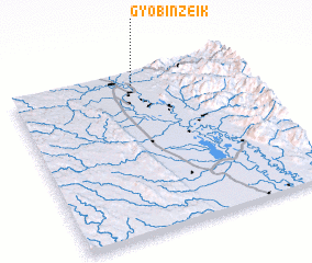 Places with similar names to Gyobinzeik, Myanmar ::
// Gyobinzeik (MM)
Disclaimer :: Information on this page comes without warranty of any kind |
||
|
Where is Gyobinzeik? Elevation and coordinates ::
Latitude (lat): 18°55'0"N Longitude (lon): 96°32'0"E
Elevation (approx.): 54m (map arrows pan, magnifying glasses zoom) |
||
|
Visiting Gyobinzeik? Hotel/Accommodation ::
Book a hotel in Gyobinzeik Travel Guide ::
Buy a travel guide for Myanmar rental cars ::
car rental offers GPS waypoint ::
download a GPX waypoint (PoI) of Gyobinzeik for your GPS receiver
|
||