|
search place name
|
||
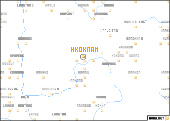
Hkoknam (Shan, Myanmar)Hkoknam is a town in the Shan region of Myanmar. An overview map of the region around Hkoknam is displayed below.
regional and 3d topo map of Hkoknam, Myanmar ::
Hkoknam airports ::
The nearest airport is HEH - Heho, located 126.7 km south west of Hkoknam.
Other airports nearby include MOG - Mong Hsat (176.9 km south east), LSH - Lashio (178.5 km north), KET - Kengtung (188.9 km east), MDL - Mandalay Intl (194.1 km west), Nearby towns ::
Hsalaihkum (0.0km north) //
Hpongayin (0.0km north) //
Hsampā (1.7km east) //
Wān Kyaung (1.7km east) //
Honā (1.9km south) //
Konghsapye (1.7km west) //
Wānniu (3.7km south) //
Pangweng (3.9km north east) //
Wān Hti (5.6km south) //
Wān Pāng (5.5km east) //
Wān Kong (5.8km south) //
Hāhong (6.9km east) //
Nammawlong (7.1km east) //
Wān Loi-tau (7.6km north east) //
Ho-nā (9.0km south west) //
Könghkam (10.1km south west) //
Wan Kunwing (10.1km south west) //
[all distances 'as the bird flies' and approximate] 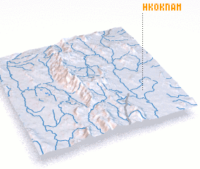 Places with similar names to Hkoknam, Myanmar ::
// Kioko-Niumba (CD)
// Kogaenŏm (KR)
// Kagnouma (GF)
// Kiekinniemi (FI)
// Kokkoniemi (FI)
// Kokkoniemi (FI)
// Kokonniemi (FI)
// Koukunmaa (FI)
// Kukkoniemi (FI)
// Qiganmiao (CN)
Disclaimer :: Information on this page comes without warranty of any kind |
||
|
Where is Hkoknam? Elevation and coordinates ::
Latitude (lat): 21°22'0"N Longitude (lon): 97°49'0"E
Elevation (approx.): 1013m (map arrows pan, magnifying glasses zoom) |
||
|
Visiting Hkoknam? Hotel/Accommodation ::
Book a hotel in Hkoknam Travel Guide ::
Buy a travel guide for Myanmar rental cars ::
car rental offers GPS waypoint ::
download a GPX waypoint (PoI) of Hkoknam for your GPS receiver
|
||