|
search place name
|
||
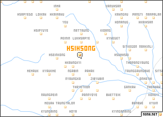
Hsi-hsong (Shan, Myanmar)Hsi-hsong is a town in the Shan region of Myanmar. An overview map of the region around Hsi-hsong is displayed below.
regional and 3d topo map of Hsi-hsong, Myanmar ::
Hsi-hsong airports ::
The nearest airport is MDL - Mandalay Intl, located 86.2 km south west of Hsi-hsong.
Other airports nearby include LSH - Lashio (147.0 km north east), HEH - Heho (172.2 km south), Nearby towns ::
Hkawngkyi (2.5km south west) //
Lukhsa-py-e (3.7km north) //
Hkai-hsim (3.9km south west) //
Nga-bin (4.1km south west) //
Pa-hak (4.1km south east) //
Pein-in (5.0km north west) //
Kwangteng (5.0km north east) //
Hseinkong (5.1km west) //
Nattaung (5.6km north) //
Nyaung-ka (5.8km south) //
Zi-byu-bin (6.5km south east) //
Thayetkon (7.4km south) //
Tan-ga-naing (7.4km south) //
Manna (7.6km south) //
Kio-ang (7.6km north east) //
Kyaukme (7.8km south west) //
Zati Kala-ywa (8.2km south east) //
Ye-u (8.2km north west) //
Kywe-det (7.8km north east) //
[all distances 'as the bird flies' and approximate] 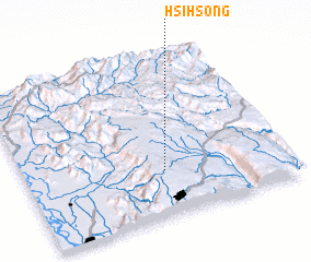 Places with similar names to Hsi-hsong, Myanmar ::
Disclaimer :: Information on this page comes without warranty of any kind |
||
|
Where is Hsi-hsong? Elevation and coordinates ::
Latitude (lat): 22°17'0"N Longitude (lon): 96°32'0"E
Elevation (approx.): 869m (map arrows pan, magnifying glasses zoom) |
||
|
Visiting Hsi-hsong? Hotel/Accommodation ::
Book a hotel in Hsi-hsong Travel Guide ::
Buy a travel guide for Myanmar rental cars ::
car rental offers GPS waypoint ::
download a GPX waypoint (PoI) of Hsi-hsong for your GPS receiver
|
||