|
search place name
|
||
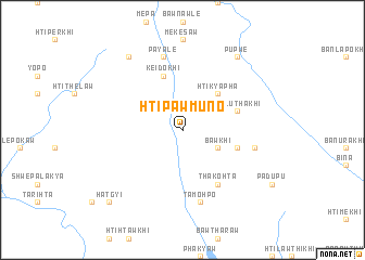
Htipawmuno (Kayin, Myanmar)Htipawmuno is a town in the Kayin region of Myanmar. An overview map of the region around Htipawmuno is displayed below.
regional and 3d topo map of Htipawmuno, Myanmar ::
Htipawmuno airports ::
The nearest airport is RGN - Yangon Intl, located 187.4 km south west of Htipawmuno.
Other airports nearby include LPT - Lampang (201.4 km east), Nearby towns ::
Phadidu (1.9km north) //
Bawkhi (4.0km south east) //
Htikyapha (5.1km north east) //
Ban U Ra Tha (5.6km east) //
Htilūthakhi (5.6km east) //
Keidokhi (5.8km north) //
Thakohta (6.6km south east) //
Khawhtipawkho (7.3km east) //
Tamohpo (7.6km south) //
Payale (7.6km north) //
Ban Po Khi (9.1km north east) //
Ban Khu Thu (9.1km north east) //
Pupwe (9.1km north east) //
Ban To La (9.1km north east) //
Ban Misi Khi (9.1km north east) //
Ban Sa Yokhi (9.1km north west) //
Hatgyi (10.2km south west) //
[all distances 'as the bird flies' and approximate] 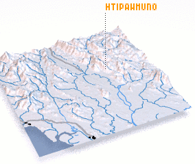 Places with similar names to Htipawmuno, Myanmar ::
// Tupman (US)
Disclaimer :: Information on this page comes without warranty of any kind |
||
|
Where is Htipawmuno? Elevation and coordinates ::
Latitude (lat): 17°39'0"N Longitude (lon): 97°43'0"E
Elevation (approx.): 262m (map arrows pan, magnifying glasses zoom) |
||
|
Visiting Htipawmuno? Hotel/Accommodation ::
Book a hotel in Htipawmuno Travel Guide ::
Buy a travel guide for Myanmar rental cars ::
car rental offers GPS waypoint ::
download a GPX waypoint (PoI) of Htipawmuno for your GPS receiver
|
||