|
search place name
|
||
Hweheng (Shan, Myanmar)Hweheng is a town in the Shan region of Myanmar. An overview map of the region around Hweheng is displayed below.
regional and 3d topo map of Hweheng, Myanmar ::

Hweheng airports ::
The nearest airport is HEH - Heho, located 111.5 km north west of Hweheng.
Other airports nearby include MOG - Mong Hsat (156.8 km east), KET - Kengtung (222.2 km north east), MDL - Mandalay Intl (239.9 km north west), Nearby towns ::
Melawn (1.9km north) //
Pāngtawng (5.2km west) //
Nā-hka (5.2km east) //
Maklang (5.2km west) //
Hona (6.4km south west) //
Hwesang (6.6km south east) //
Longmakpai (6.4km north west) //
Saihok (6.4km north east) //
Ho-pom (6.6km south west) //
Kongpekhso (7.4km south) //
Wān Ma-kon (7.0km east) //
Loisoi (7.0km west) //
Nawngpe (7.0km west) //
Wān Kyawng (7.2km west) //
Nawnghang (7.6km south west) //
Wān Kyawng (7.6km south west) //
Wānkun (7.6km south west) //
Ponglau (8.2km south west) //
Loi-hoi (8.2km north west) //
Makmonglau (9.1km south west) //
Ho-na (8.9km south east) //
Pāngtang (10.2km north east) //
Makmong (10.2km north west) //
[all distances 'as the bird flies' and approximate] 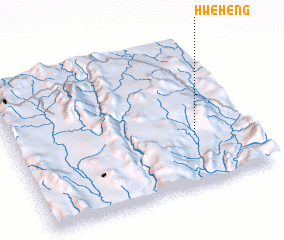 Places with similar names to Hweheng, Myanmar ::
Disclaimer :: Information on this page comes without warranty of any kind |
||
|
Where is Hweheng? Elevation and coordinates ::
Latitude (lat): 20°20'0"N Longitude (lon): 97°46'0"E
Elevation (approx.): 868m (map arrows pan, magnifying glasses zoom) |
||
|
Visiting Hweheng? Hotel/Accommodation ::
Book a hotel in Hweheng Travel Guide ::
Buy a travel guide for Myanmar rental cars ::
car rental offers GPS waypoint ::
download a GPX waypoint (PoI) of Hweheng for your GPS receiver
|
||